 Scenario 3
Models
Fire-Ed Up Scenario 3:
Welcome to the Fire Prediction Models supplementary page for the stage 5 iSTEM, Fire-Ed Up Unit of Work. This is a resource site setup to support teachers to implement the Fire-Ed Up Program.
Fire-Ed Up is funded by the NSW Office of the Chief Scientist and Engineer, developed from Central Coast Council’s Award Winning program and produced by the Hunter Innovation and Science Hub.
Unit Background –
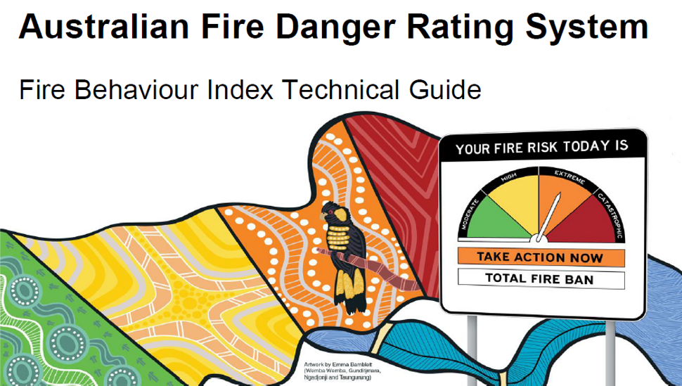
Australian Fire Danger Rating System
In 2022 Australia introduced a new fire danger rating system providing clearer and more accurate information to communities at risk of bush fire. The Australian Fire Danger Rating System brings together the latest science and knowledge of fire behaviour, is supported by extensive community research, and is the most significant change to the fire danger rating system in more than 50 years.
The previous fire danger rating system was found to be approximately 40% accurate whilst the new reporting system is now more than 60%, but there is room for improvement.
Scenario 3
Fire Prediction Models: Utilise data science to formulate a model that predicts bushfire occurrences based on factors like weather, vegetation, and topography.

Field Measurements:
Becoming a Fire Prediction Modeller
Fire behavioural models are sophisticated mathematical formulas designed to predict the movement of fire across various vegetation types based on weather conditions and topography. In this context, the term “fuel” refers to combustible natural materials such as grass, leaves, and branches. Each vegetation type has unique burning characteristics, necessitating distinct models for accurate prediction.
The Australian Fire Danger Rating System (AFDRS) incorporates eight of these models to correspond with 22 distinct types of fuel.
This comprehensive approach allows for accurate predictions in diverse landscapes, ranging from dense forests to open grasslands. Understanding these models is crucial for fire management professionals, enabling them to devise effective strategies for bushfire prevention and control. This knowledge is not only fundamental but also essential for safeguarding communities against the threat of wildfires.
Your Mission as a Field Researcher
Step into the shoes of these experts. With a keen eye and precise instruments, you’ll collect data that’s vital for predicting a simulated local FBI and AFDR.
Here’s what we need to know:
- Temperature: How hot is it outside? Fire loves heat, so this is a big one.
- Wind Speed: Strong winds can whip a small flame into a raging fire.
- Humidity: Dry air means plants dry out, and dried-out plants burn faster.
- Fuel Load: This is all about how much stuff could burn in an area.
- Fuel Moisture Content: Wetter fuel doesn’t burn as easily, so we need to know how dry it is.
- Land Slope: Fire climbs uphill quickly, so the steepness of the land matters.
- Vegetation Type: Different plant types burn in different ways. Knowing what’s around is key.
You might be gathering this data at our school, a nearby field, or another interesting environment. Keep your eyes open and your instruments ready!
Using Your Data
Once you’ve collected our measurements, we’ll use this data to model simulate what the FBI and AFDR might be for our local area. How much does this change throughout the day, week or month?
Downloadable Resources
Technology Mandatory – Student Resource Folio
Download the Fire-Ed Up Technology Mandatory student resource folio.
NSW RFS Firefighters Pocket Book
The NSW Rural Fire Service Firefighters Pocket Book Dec 2010 edition.
Australian Fire Danger Rating System
Australian fire danger rating system – Fire Behaviour Index Technical Guide V2.1 Oct 2023.
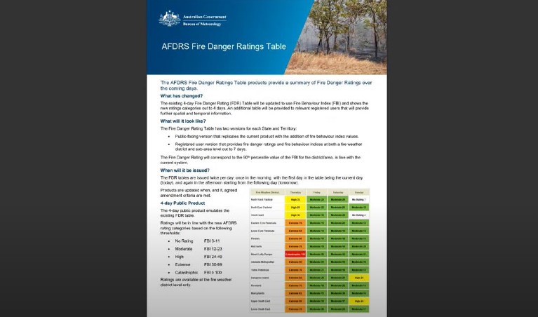
The Bureau Fire Danger Products Learning Guide
The Bureau produces products as part of the AFDRS suite of services that provide nation-wide standard information about fire danger
Video Based Resources
The following are a mixture of Fire-ED Up original video resources and others that you might find useful.
Students use machine learning to predict wildfires
Aditya Shah and Sanjana Shah from Cupertino, California describe using TensorFlow, Google’s open-source machine learning tool, to build Smart Wildfire Sensor, which can help predict where wildfires are most likely to occur in a given area (0:51 minutes).
Understanding and predicting firestorms
Large-scale fire predictions within Spark
Tabletop Fire Prediction
The Interagency Fire Center at Los Alamos National Laboratory use Simtable, where algorithms that include camera-based object-tracking and projection are used to simulate a wildland fire spreading across any terrain (1:02 minutes)
WiFire: Technology to Predict and Prevent the Spread of Wildfires – UC San Diego
WIFIRE Lab is a collaboration between the Qualcomm Institute and the San Diego Supercomputer Center. The technology uses big data from cameras, weather stations, topography and other sources to quickly predict where wildfires will spread (8:35 Minutes)
Predicting wildfire behaviour at NCAR
Fire behaviour researcher Janice Coen has developed a new fire spread model at the National Center for Atmospheric Research in the US. (1:59 Minutes)
Other Resources
Websites
CSIRO Guide to rate of fire spread models for Australian Vegetation
https://research.csiro.au/firemodelsguide/
CSIRO Vesta Mk 2 fire model
https://research.csiro.au/vestamk2/
CSIRO Spark Model
https://www.csiro.au/en/research/technology-space/ai/spark
NCAR’s wildfire modeling system
https://ncar.ucar.edu/wildfires/behavior-modeling-prediction
iTEachSTEM Resources
iTEachSTEM
https://iteachstem.com.au/
iTEachSTEM – Orthogonal Sketching
https://iteachstem.com.au/resources/143-orthogonal-drawing-fundamentals/
iTEachSTEM Pictorial Sketching
https://iteachstem.com.au/resources/142-pictorial-drawing-fundamentals/
iTEachSTEM Annotated rendered sketches
https://vimeo.com/413405563
iTEachSTEM – Making a Prototype
https://vimeo.com/413405563#t=240s
iTEachSTEM – Iterate and Test
https://vimeo.com/413403698
iTEachSTEM – Communicating Design Solutions
https://vimeo.com/413401270
https://www.youtube.com/watch?v=ghi1Ye3-1hk
Other Resources
Bushfire Survival
Online RFS Bushfire Survival plan
https://www.myfireplan.com.au/
Bushfire Survival Plan PDF version
https://www.rfs.nsw.gov.au/__data/assets/pdf_file/0017/2933/BushFireSurvivalPlan.pdf
Apps
NSW RFS Firefighter Pocketbook – Android
https://play.google.com/store/apps/details?id=com.tiltandco.pocketguide&hl=en_AU&gl=US
NSW RFS Firefighter Pocketbook – IOS
https://apps.apple.com/au/app/nsw-rfs-firefighter-pocketbook/id872370884
Hazards Near Me – Android
https://play.google.com/store/apps/details?id=au.gov.nsw.rfs.firesnearme.nsw
Hazards Near Me – IOS
https://apps.apple.com/au/app/hazards-near-me-nsw/id370891827
Satellites
Himawari-8 Satellite Viewer Introduction Video
https://www.youtube.com/watch?v=mODSZFIYVqk
Australian Bureau of Meteorology’s Satellite Viewer Site
http://satview.bom.gov.au/
Software
Spatial Information eXchange
https://maps.six.nsw.gov.au/
NSW Department of Education – Digital Learning Selector
https://app.education.nsw.gov.au/digital-learning-selector/?cache_id=e6c80
Drawing
Splat3D
https://www.youtube.com/@Splat3D
Splat3D – Drawing the core 3D Shapes Playlist
https://www.youtube.com/playlist?list=PLQjzh9hlXz-IUfatrs39YUKBGGX8fVbxU
Other Videos
AVA Define and Identify – Dr Nick De Leon from the Royal College of Art
https://vimeo.com/742931303